Odet-Julien Leboucher  Auf Merkliste setzen
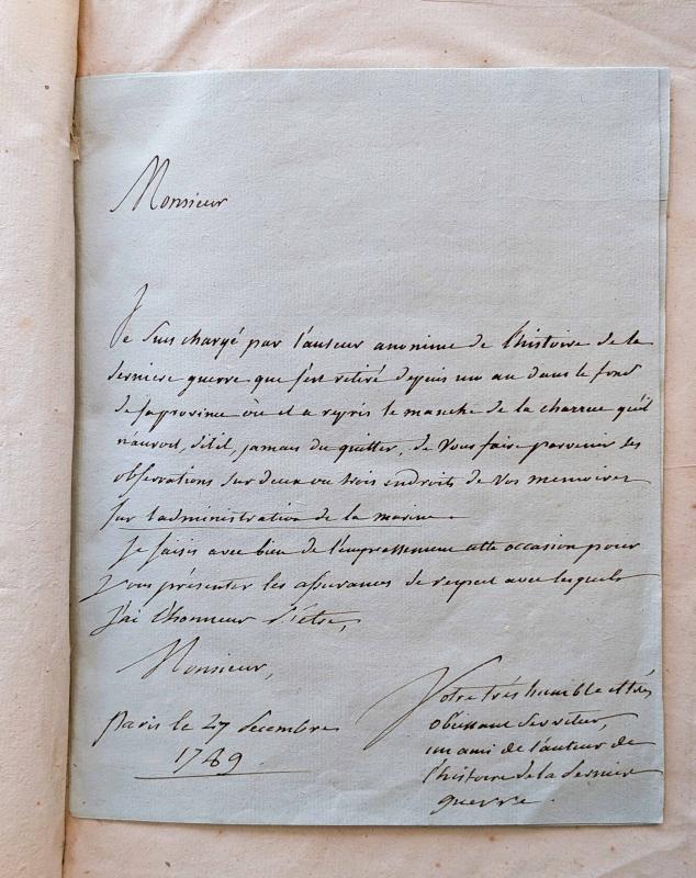
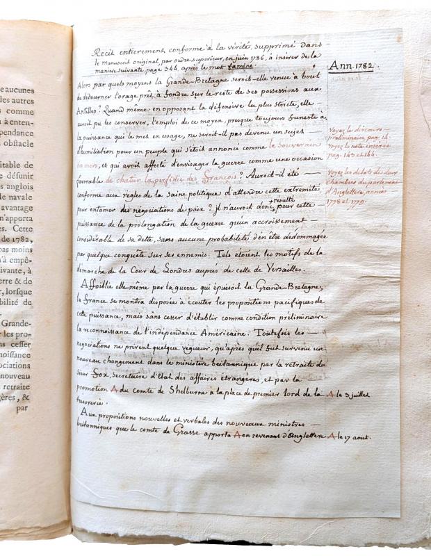
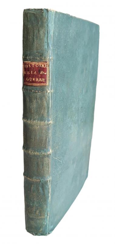
Histoire de la dernière guerre, entre la Grande-Bretagne, et les États-Unis de l'Amérique, la France, l'Espagne et la Hollande, depuis son commencement en 1775 jusqu'à sa fin en 1783. Paris, Brocas, 1787. XXXIV, 357, (3) pages, 7 engraved large folding maps on guards, 2 large folding tables. Extra-illustrated with 9 engravings among others with portraits of B. Franklin, J. Hancock, W. Pitt, G. Washington, members of the Première Assemblée du Congrès, a conflagration in New York, and other allegorical and historical subjects. Two strictly contemporary and relevant manuscripts further added: 1. A 10-page quarto size manuscript dated decembre 1789 with a focus on maritime issues, with signature of the anonymous author "Votre très humble et très obeissant serviteur, un ami de l’auteur de l’histoire de la derniere guerre. Paris le 27 decembre 1789"; and 2. A single sheet of manuscript in quarto format with drop-head title, text on recto and verso, in black and reddish ink: "Recit entierement conforme à la vérité supprimé dans le manuscrit original, par ordre superieur en juin 1786, à inserer de la maniere suivante, page 344 après le mot famine." Last leaf of the first part (O2, pages 107/108) in two states with significant differences in text. Cont. green boards on five raised bands, with gilt stamped red morocco label in second compartment, all edges uncut. 4to (284 x 206 mm). Extremities lightly rubbed.
Chadenat no. 1409 ; Howes L-166 "Best French chronicle of the Revolution; particularly valuable on naval affairs. .. The author relates the diplomatic and military developments of the conflict with great objectivity. Pages 28-34 contain the French translation of the United States Declaration of Independence of July 4, 1776" ; Sabin 39613 ; Leclerc 191. First edition of this book, which addresses the American Revolution from the French perspective, as well as the history of conflicts in Canada and the Caribbean with special attention to naval battles. In addition to the two large, detailed maps showing the coasts and inland areas of the northern and southern United States from Nova Scotia to Georgia, the nautical charts depict the Caribbean, St Kitts, Trinquemalay Bay, the Bay of Bengal and the Antilles, as well as two large folding tables: One contains a list of the ships of the belligerent powers that were captured, destroyed, sunk, burnt or capsized during the last war; the other a list of officers of the French Navy who were killed, died of their wounds, drowned or were wounded. Some pages are lightly and evenly toned, and some with scattered light brown spots; a fresh copy with wide margins, supplemented by relevant and important manuscript material and extra-illustrated with nine plates.
9000,- EUR
inkl. 7% USt./incl. 7% VAT
Sachgebiete: Amerika, Geschichte
Kontakt zum