De Wit / De la Faille, Atlas 1718
Luxus-Atlas aus der Bibliothek Schönborn  Auf Merkliste setzen
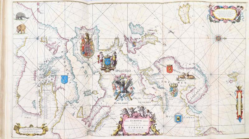
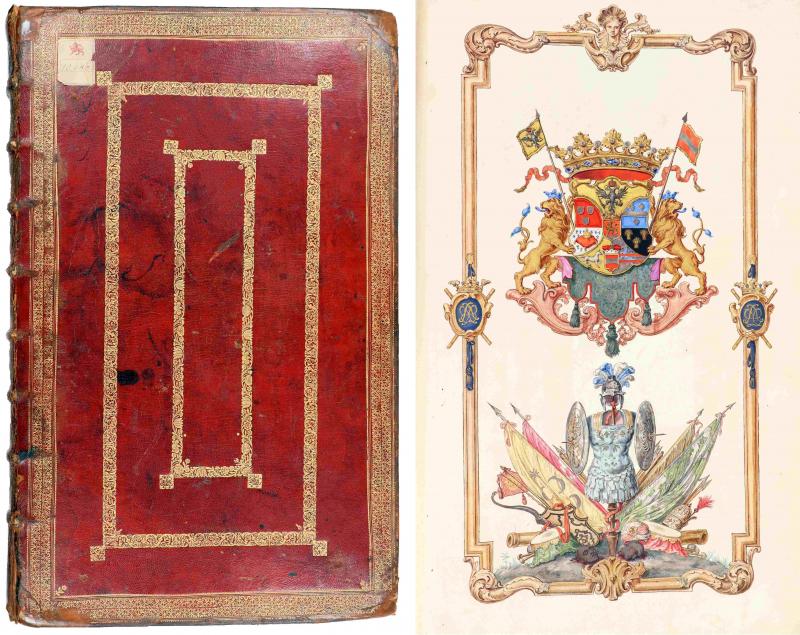
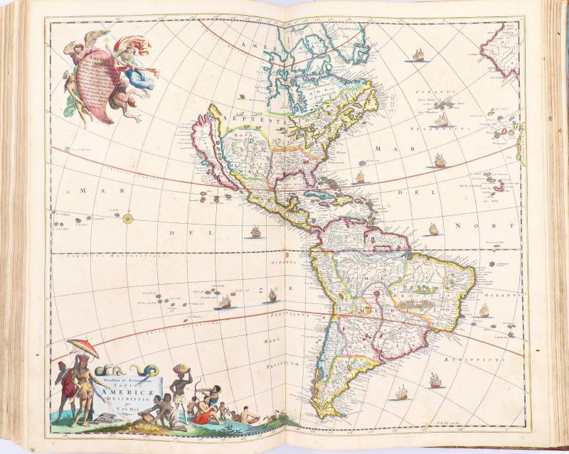
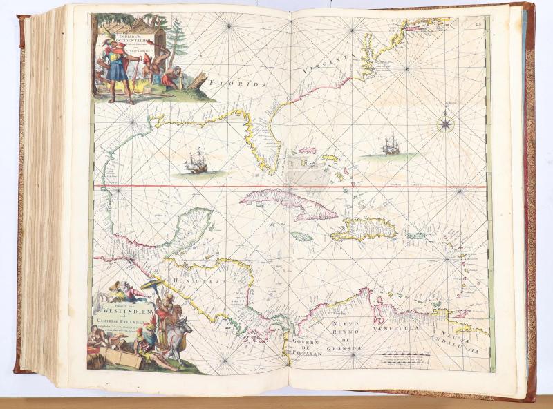
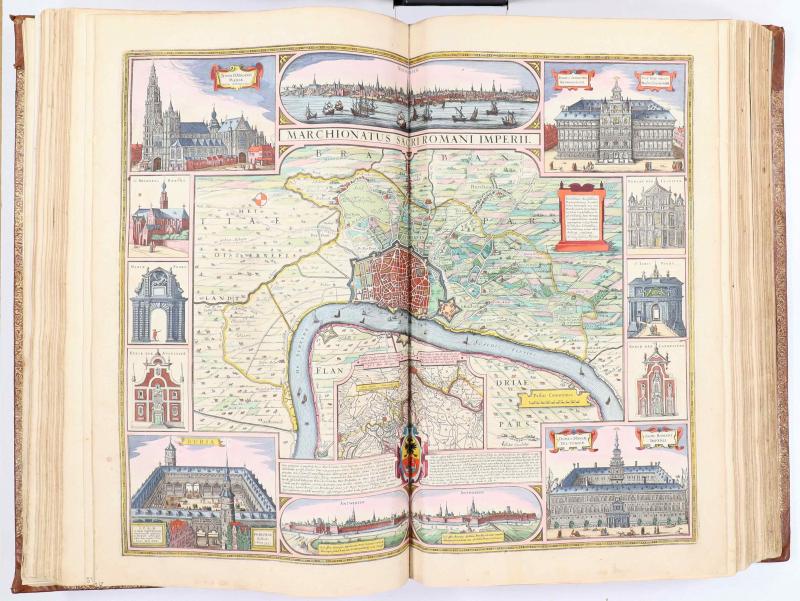
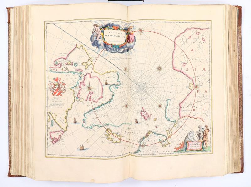
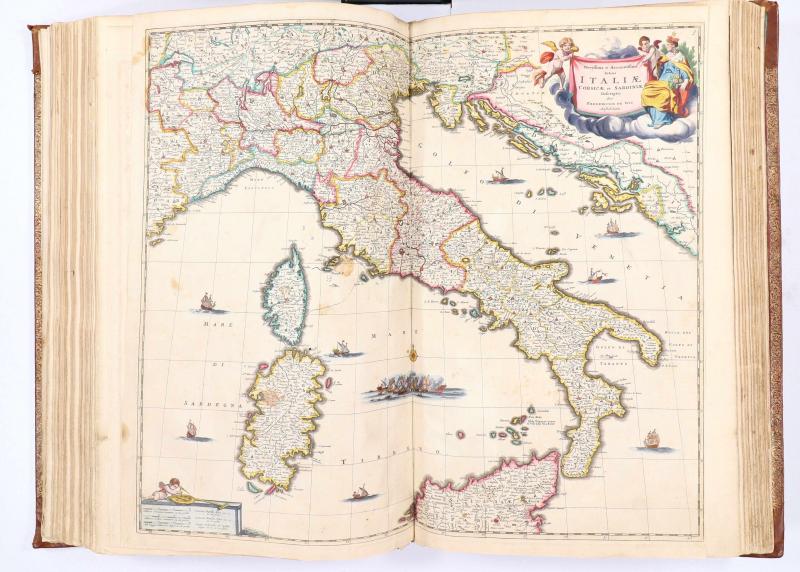
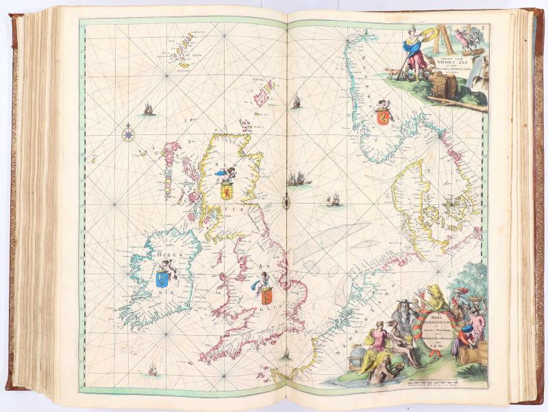
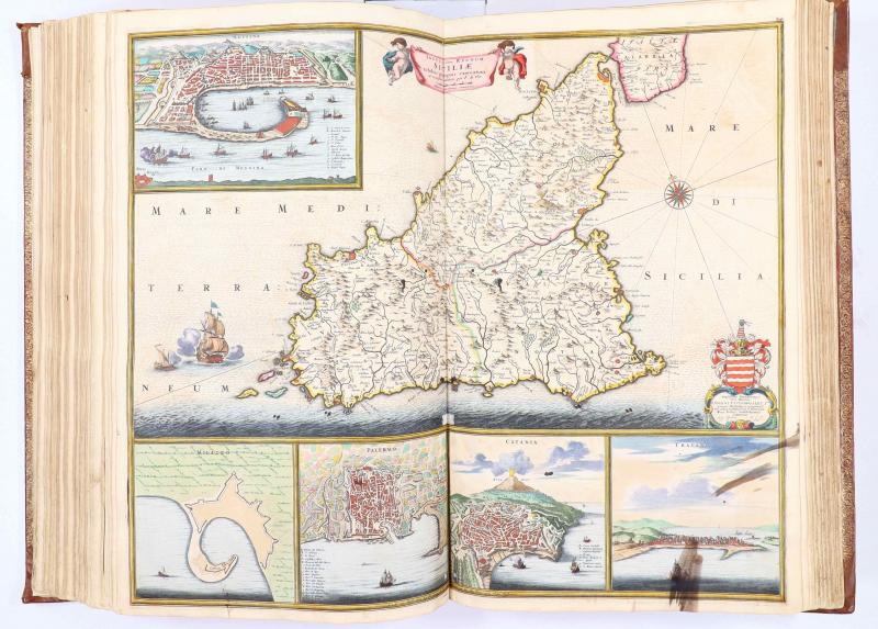
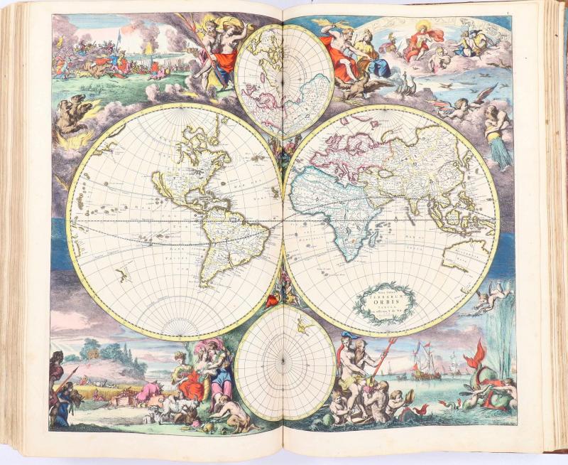
De Wit, F. (u.a.), ORBIS UNIVERSI IMAGO A PRÆCIPUIS GEOGRAPHIS IN LUCEM EDITA ET IN UNUM COMBINATA ANTVERPIÆ ANNO 1718. Privater Sammelatlas für Graf Anselm Franz von Schönborn-Buchheim. Beigebunden: F. de Wit, TABULÆ MARITIMÆ, Ofte ZEE-KAERTEN. Antwerpen, Hieronymus Joseph de la (della) Faille 1718. 54 x 35 cm. [4] Bl. (Titel, gemaltes ganzseitiges Wappen, 3 Seiten gedruckte Widmung), 106 handschriftlich num. Kupferstichkarten; Titel See-Atlas (verso Kartenverzeichnis), 27 handschriftl. num. Kupferstich-Karten. Alles ausgemalt in feinstem Fürstenkolorit mit etwas Goldhöhung. Geglättetes rotes Maroquin mit dreifachen Goldbordüren und Eckfleurons auf den Deckeln, reiche Rückenvergoldung, dreiseitiger Goldschnitt. Einband beschabt und bestoßen, behutsam restauriert. Kleine Wurmspuren. Titel und 5 Karten vollständig mit Japan hinterlegt. Eine Reihe von Karten mit kleinen Hinterlegungen am Bug meist außerhalb des Kartenbildes; ca. 30 Karten mit längeren hinterlegten Einrissen. 2 Karten mit Tintenspuren, Türkeikarte mit zwei knapp münzgroßen hinterlegten Löchern. 4 Karten etwas beschnitten. Modernes Exlibris.
Prachtvoller Sammelatlas aus der Bibliothek Schönborn-Bucheim, die 1993 bei Reiss & Auvermann versteigert wurde, mit Stempel "GRÄFL. SCHÖNBORNSCHE BIBLIOTHEK IN SCHLOSS SCHÖNBORN" auf dem Titelblatt und dem bekannten Wappenetikett der Bibliothek der Grafen von Schönborn-Buchheim auf dem Vorderdeckel. Eigens für Anselm Franz Reichsgraf von Schönborn-Buchheim zusammengestellt und ihm wegen seiner Verdienste um die Verwaltung der Österreichischen Niederlande (Belgien) gewidmet. Die gedruckte Widmung ist gezeichnet von Hieronymus Joseph della Faille. Als Titelblatt wurde ein Blaeu-Titel verwendet, in den ein separat gedrucktes Titelschildchen eingesetzt wurde. Enthält Karten von Allard (1), Blaeu (16), Hondius (1), Janssonius (6), Pitt (3), Sanson (1), Visscher (30), de Wit (32); 16 Karten ohne Verlegeradresse (wohl alle Blaeu oder Janssonius). Am Schluß eingebunden komplettes Exemplar des de Wit'schen Seeatlas mit 27 Karten, wohl in einer Ausgabe um 1700. Die Karten verteilen sich wie folgt: Weltkarte, 4 Erdteile, Nordpol, Gebietskarten von Afrika (5), Amerika (1), Asien (7); ferner Dänemark, Deutschland (19), Frankreich (15) Griechenland (2), Großbritannien (4), Holland und Belgien (20), Italien (8), Ost- und Südosteuropa (8), Portugal, Schweiz, Skandinavien, Spanien (7) sowie die Seekarten. Fotos aller Karten sende ich Ihnen auf Anfrage gerne zu. Prachtvoll koloriertes und gut erhaltenes koloriertes Unikat. A presentation atlas for Anselm Franz Count Schönborn-Buchheim with specially printed title page and dedication consisting of fullpage watercolour depicting the coat-ot-arms of Count Schönborn surrounded by baroque decoration, and three printed signed by H. J. della Faille; bound in contemp. red morocco, richly gilt. At the end of the volume there is a complete copy of de Wit's maritime atlas. Magnificent contemporary colouring, many maps heightened with gold. A number of maps with minor repairs not affecting the picture. Some thirty maps with major repairs; some inkstaining to two maps four are trimmed. The first four of the volume and map 11 (France) margins strengthened. Map of Turkish Empire damaged.
120000,- EUR
Differenzbesteuert/Subject to margin taxation
Sachgebiete: Atlanten
Kontakt zum