KNITTEL, Johann Ernst.  Auf Merkliste setzen
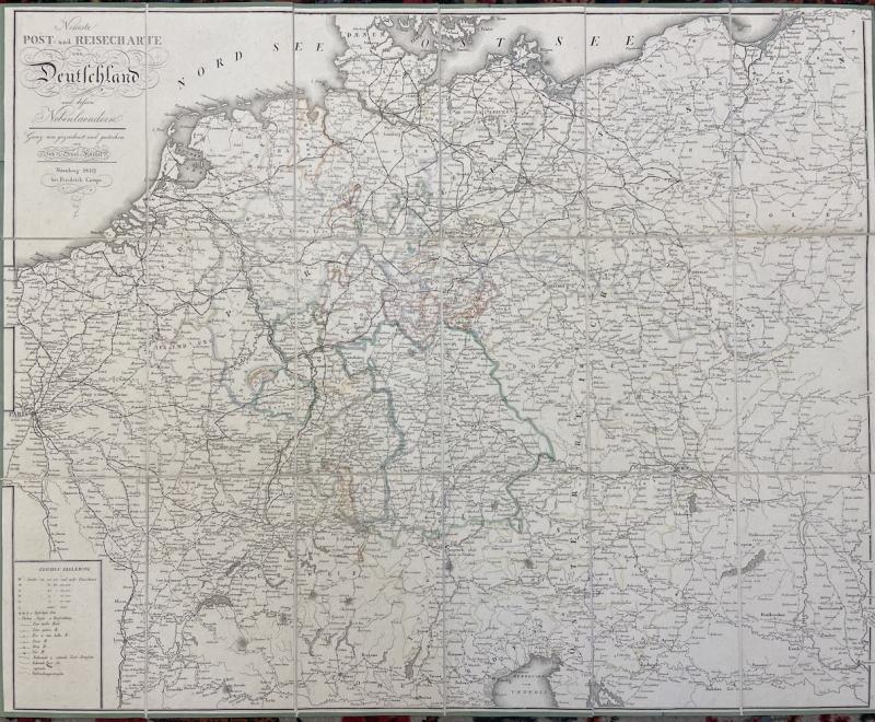
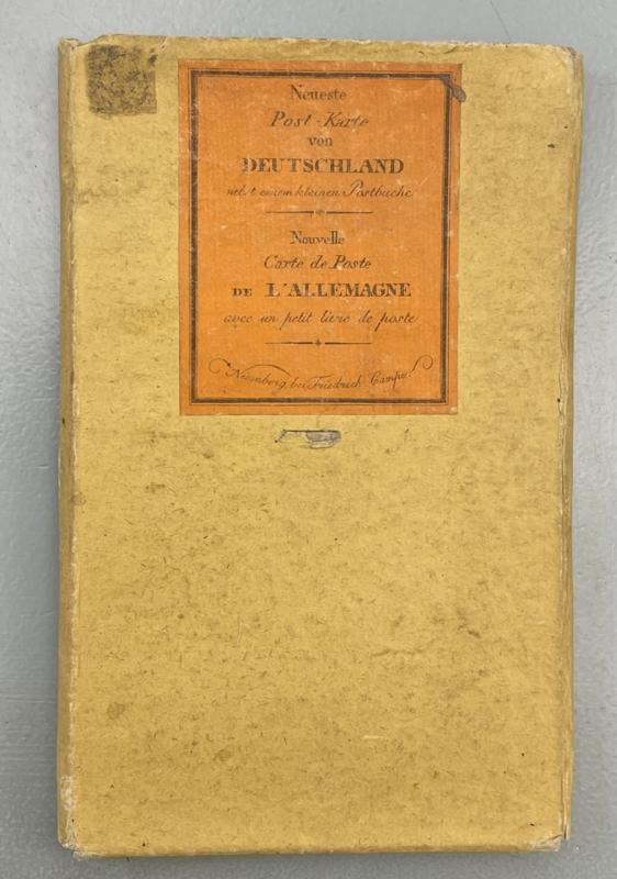
Neueste Post- und Reisecharte von Deutschland und dessen Nebenlaendern. Ganz neu gezeichnet und gestochen von Joh. Ernst Knittel. Nürnberg, Friedrich Campe, 1819. Engr. map with coloured borders. (565 x 700 mm.) Mounted with green edge paper and folded. In original yellow slipcase with printed orange label.
Fine copy. Johann Ernst Knittel was an German engraver from Nürnberg, who in the beginnning of the 19th century produced numerous topographical maps, often used by the military.
450,- EUR
Differenzbesteuert/Subject to margin taxation
Sachgebiete: Deutschland, Landkarten
Kontakt zum